
Another storm headed to California, flood watch issued
LOS ANGELES – The dry, warm weather that has bathed the Southland for the past few days is about to end, with a pair of storms expected to hit the area and bring significant rainfall to the region.
A storm is also headed to the Bay Area, bringing with it widespread heavy rainfall and gusty winds that could result in flooding, downed trees and power outages.
The National Weather Service has issued a flood watch for the entire Bay Area and Central coast from late tonight through late Thursday night.
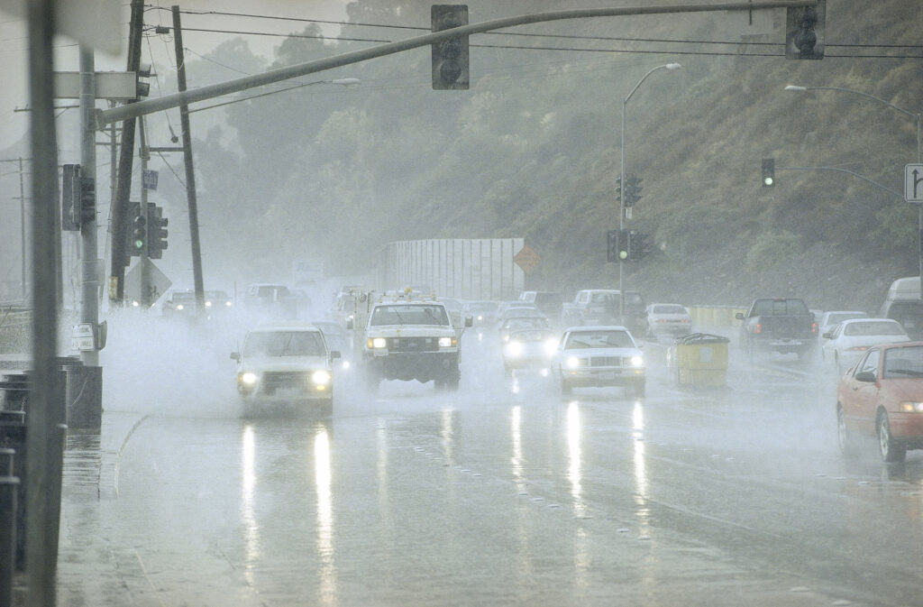
Cars and trucks put up plumes of water as they hit deep spots on Pacific Coast Highway in the Pacific Palisades district of Los Angeles. FILE PHOTO/Photo for illustration only
The first storm system is expected to arrive in Southern California Wednesday night, with the brunt of it arriving early Thursday morning in Los Angeles County.
“All systems are a go for a 4- to 8-hour period of heavy weather starting Wednesday evening across the Central Coast and lasting through about noon Thursday over LA County,” according to the National Weather Service.
“… Unfortunately the front and heaviest rain will hit LA County during the morning rush hour.”
Across much of the area, rain is expected to fall at rates of about one-third to two-thirds of an inch per hour, with rainfall totals likely to range from 1.5 to 3 inches, according to the NWS.
Snow levels will drop to about 5,500 feet by Thursday afternoon, with 1 to 2 feet possible at “resort levels” in the mountains, and up to a foot at elevations between 6,000 and 7,000 feet.
Strong winds will also accompany the storm system, with gusts of 20 to 40 mph expected, reaching as high as 60 mph in windier locations in the mountains.
Widespread rain is also expected in Orange County, where forecasters issued a flood watch that will be in effect from Thursday morning through Friday morning. A high wind watch will also be in effect on Thursday, while a high surf advisory will be in place from 2 a.m. Thursday through 6 a.m.
Saturday.
Forecasters said Orange County beaches could see waves of 4 to 6 feet, with some as high as 8 feet.
Rain is expected to taper off Thursday night in most of the area, with generally dry conditions expected through Saturday. Forecasters said some snow will still be possible as low as 4,000 feet, meaning the possibility of some accumulation along the Grapevine stretch of the Golden State (5) Freeway.
A second storm system is expected to reach Southern California “sometime between Sunday and Tuesday,” forecasters said. Although the track of the storm is still a little uncertain, forecasters said it could pack a strong punch, with possibly 12 to 24 hours of steady rain and strong winds. NWS officials noted, however, that the storm might move more to the north, which would only result in light rain in the Southland. (With CNS report)
