
Heat continues to bake parts of Southern California
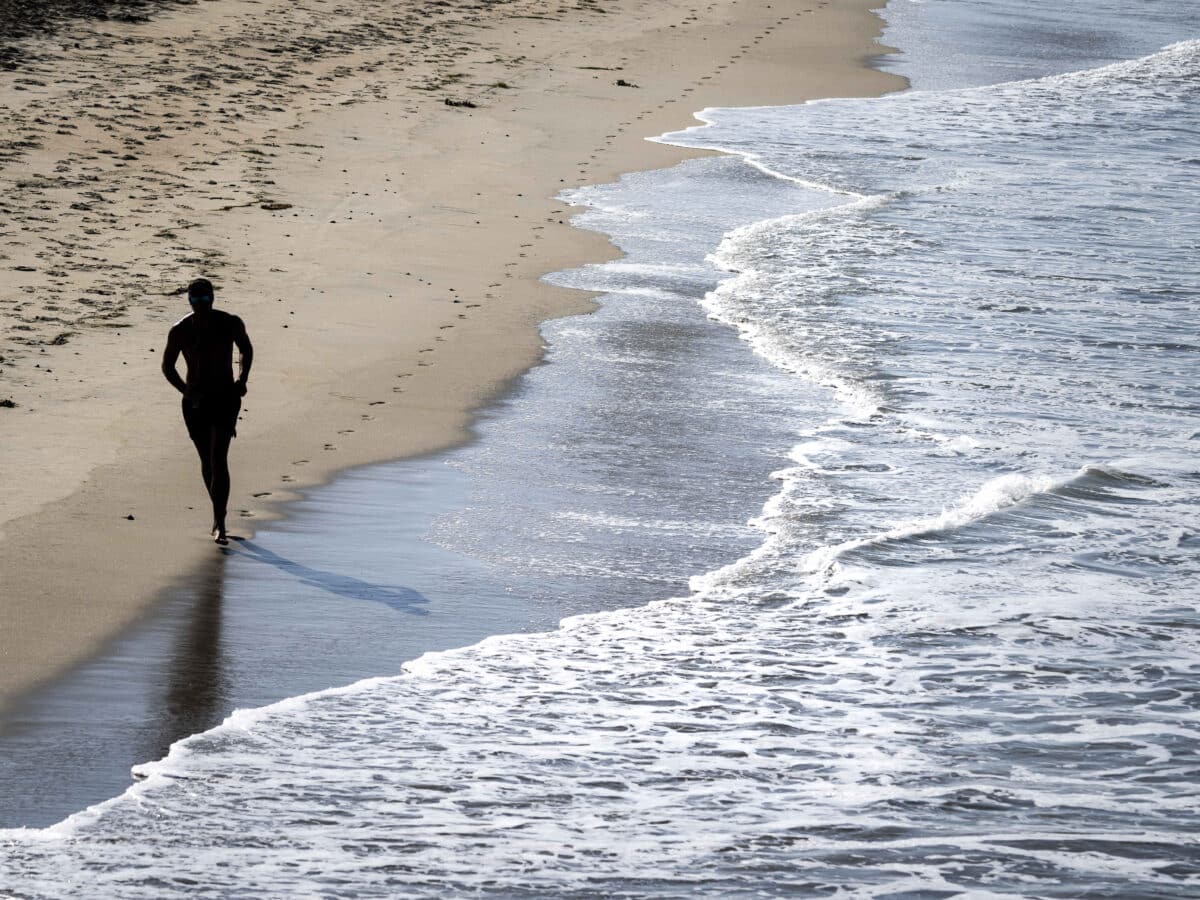
FILE PHOTO – A man jogs along the coast in San Clemente, Calif. The beaches remained the place to be during the heat wave, with morning fog and evening clouds keeping coastal temperatures in check. (Paul Bersebach/The Orange County Register via AP)
LOS ANGELES – With heat records already falling this week, elevated temperatures were expected to continue baking parts of Southern California into Thursday, with more warm weather expected over the weekend after a short respite on Friday.
The beaches remained the place to be, with morning fog and evening clouds keeping coastal temperatures in check. Inland areas, however, were bearing the brunt of the early autumn heat.
“Strong high pressure over the region will bring hot conditions to the area through Thursday,” according to the National Weather Service.
“Dangerously hot temperatures will be common across many valley, mountain, and inland areas. Slight cooling will occur on Thursday and Friday, then another warming trend will develop over the weekend.”
Temperature records have already been falling in some areas. On Tuesday, it reached 113 degrees in Woodland Hills, breaking the record for the day of 110 set in 1980. It was also the hottest day on record in October in Woodland Hills, breaking the mark of 110.
It was 104 at Palmdale Airport on Tuesday, breaking the record for the day of 100 set in 1980. It was 103 in Lancaster, breaking the record for the day of 100 set in 2020. It was 95 in Sandberg, breaking the record for the day of 92 set in 1980.
You may like: How the ancient practice of ayurveda can help you beat the heat
A mix of excessive heat warnings and advisories will be in place across the region through at least 8 p.m. Thursday, with some areas forecast to reach as high as 109 degrees, most notably in the Santa Clarita and San Fernando valleys.
A red flag warning of critical fire danger conditions will be in effect until 8 p.m. Thursday for the western San Gabriel Mountains and the 5 and 14 Freeway corridors, thanks to the anticipated heat, gusty northeast winds and low humidity.
Forecasters said the heat should back off a little Thursday night, with additional cooling expected Friday across the area — although it will still likely be 5 to 10 degrees above normal in areas away from the coast.
“The bad news is that hotter temperatures are expected for the weekend as high pressure builds back in from the southeast and onshore flow weakens,” according to the National Weather Service.
Forecasters noted that the weekend heat will be “not as severe” as the current temperatures, but many areas will likely fall under excessive heat watches or warnings.
“Sunday and Monday are expected to be the warmest days of this next heat wave, but again likely topping out at least 3-5 degrees lower than the ongoing heat wave as models indicate the air mass over the weekend isn’t as warm as the current heat wave,” according to the NWS.
Forecaster said “much cooler weather” is anticipated beginning Tuesday and continuing through the rest of next week. (CNS)
